Global Reef & Ocean Analytics Network
Months at a time in shallow water most research vessels can't reach — collecting reef, seagrass, mangrove, and water-quality data for the teams already doing the work.
Shamrocket draws 24 inches. She works inside the reef line, up the mangrove creeks, over the seagrass flats, and onto the beaches of uninhabited cays. She carries no fuel and runs on wind and solar, so she can stay on station for months — not days — without returning to port.
That is the heart of GROAN™ in the Bahamas: a sustained, low-impact field presence in the shallow places that are hardest and most expensive to survey, returning to the same sites season after season.
Bahamian reefs don't exist on their own. They depend on the seagrass, the mangroves, the tidal creeks, and the animals that move between them. The Bahamas work follows all five.
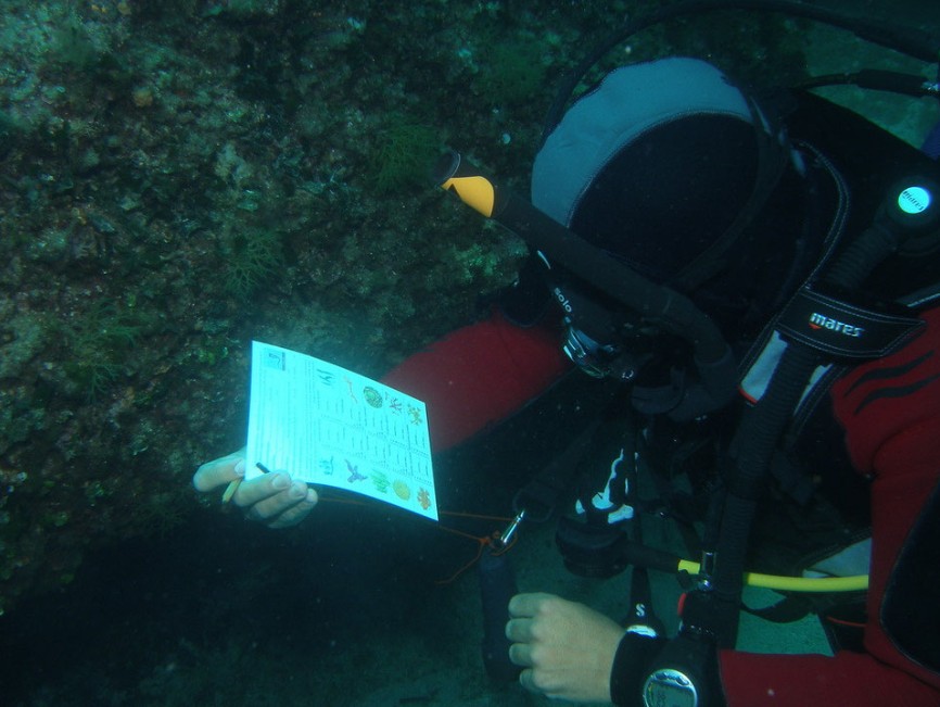
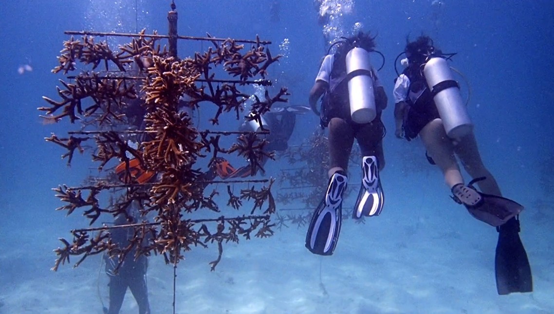
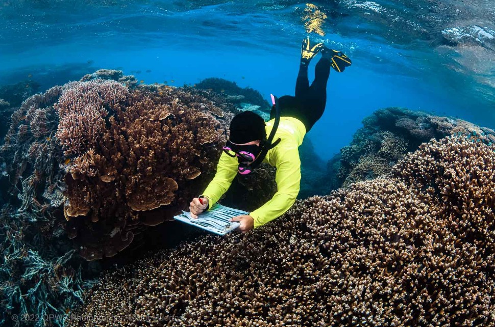
Coral condition, bleaching, and reef health at shallow sites visited again each season.
The nursery beds and feeding grounds that link the shoreline to the reef.
The creeks and shorelines that shelter juvenile fish and hold the coast together.
Turtles, rays, reef fish — and invasive lionfish, logged and removed.
Tidal creeks, blue holes, and brackish water where land and sea meet.
Every site gets a position and a record. Dive and snorkel sites, anchorages, uninhabited cays, and hurricane holes are logged with their coordinates, conditions, and water-quality readings, and revisited each season so change can be seen over time.
The hurricane-hole records — verified in person, Bahamas and US coast alike — will be made available to all mariners.
In the Water
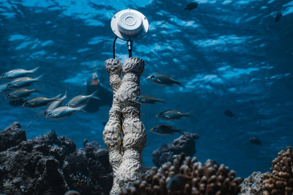
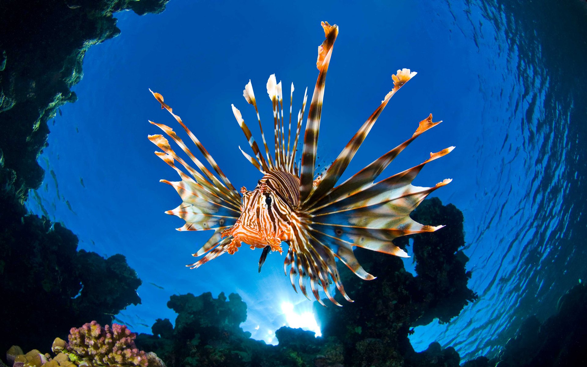
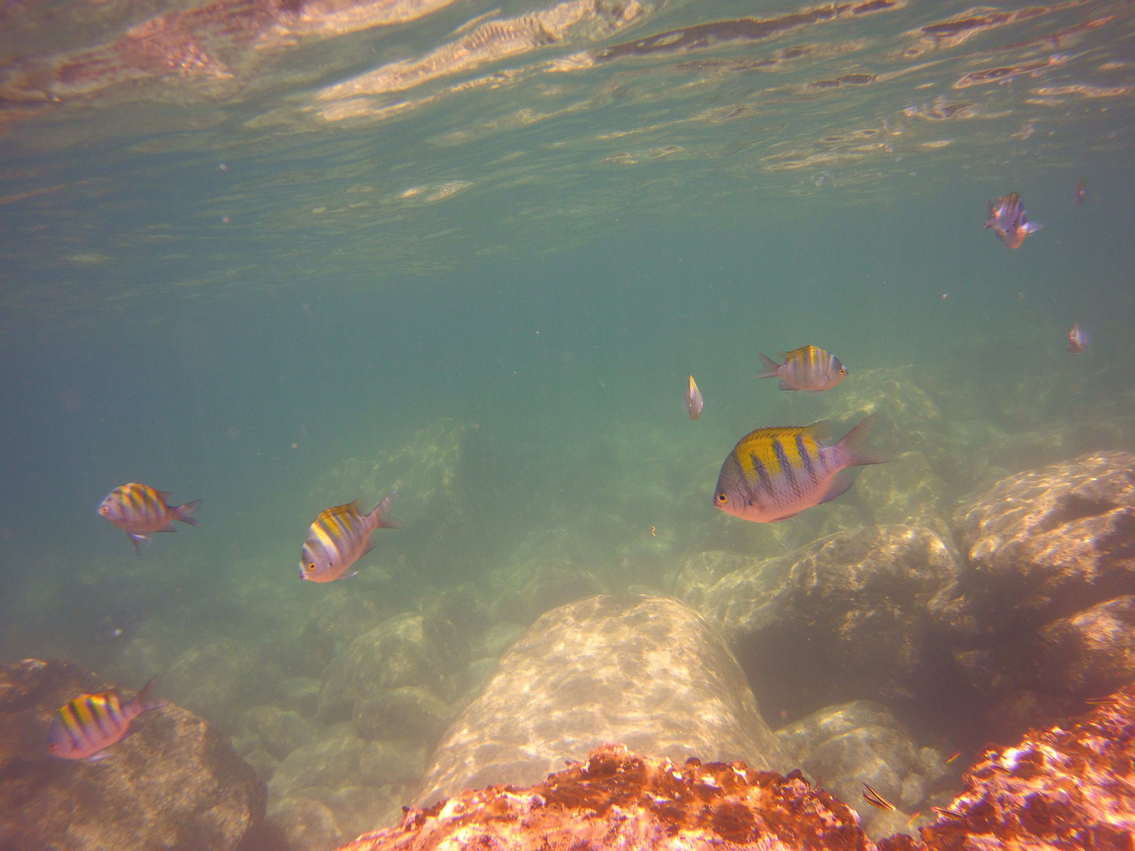
Marine Observation and Operations Platform: the boat, the instruments, and the person operating them, all working from the water.
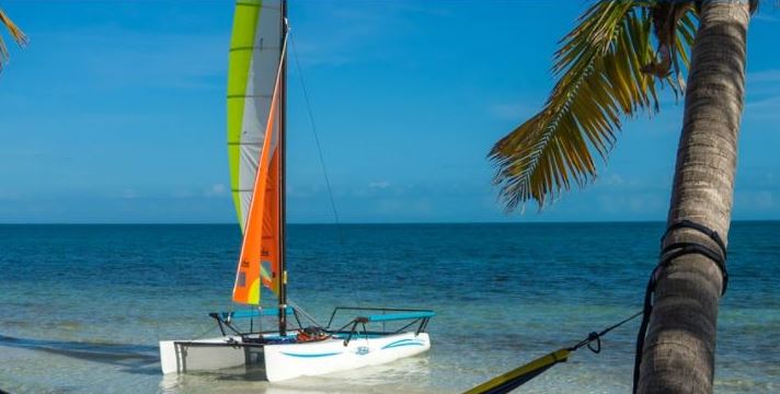
Shamrocket · 24" Draft · No Fuel Aboard
For roughly three decades, Dan Roe built clinical decision support systems for healthcare networks — taking messy, real-world data and turning it into decisions people could act on. GROAN™ applies that same discipline to the ocean.
Before that: U.S. Navy nuclear submarine electronics technician, Army combat medic and cavalry scout. Today: USCG 200-Ton Master, FAA Part 107 drone pilot, PADI Advanced Open Water diver, and a sailing instructor for more than twenty years. MBA, George Washington University. MS in Health Informatics, University of Tennessee Health Science Center.
GROAN™ is built to support the research teams already working in the Bahamas and along the Florida and Atlantic coasts — not to compete with them. If your team could use a shallow-water platform, a trained operator, and a sustained presence at your sites, let's talk.
A full research prospectus is available to research organizations on request.
nevadoraiders@gmail.com