11 countries. ~330 days. A round-trip circuit through the full Western Caribbean — from Puerto Aventuras south through Belize, Guatemala, Honduras, Nicaragua, Costa Rica, Panama, Colombia, Aruba, Bonaire, and Curaçao, and back. Shamrocket portages at Panama. Never canal transit.
The Rim Run Caribe™ is the second expedition of the Blue Rim 5™ — a round-trip circuit departing Puerto Aventuras, Mexico. It is always round-trip. It is never one-way. The circuit runs south through 11 countries and returns to Puerto Aventuras.
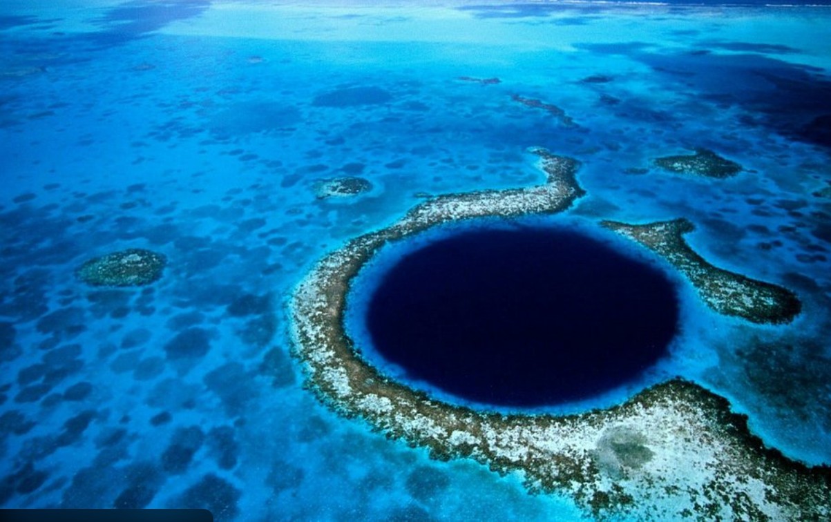
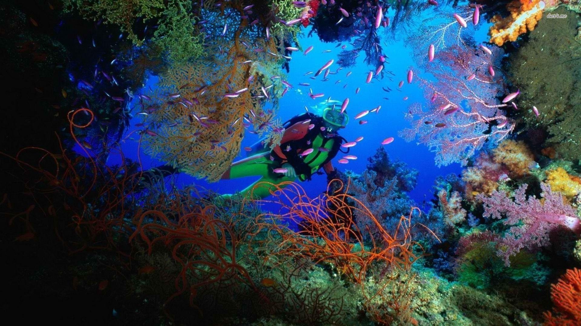
This is the Western Caribbean done completely — the Mesoamerican Barrier Reef, the Blue Hole, Río Dulce, the Bay Islands of Honduras, the essentially unsurveyed Corn Islands of Nicaragua, Bocas del Toro and the San Blas / Guna Yala islands of Panama, the Caribbean coast of Colombia, and the Dutch ABC Islands. Shamrocket portages at Panama on both legs — she never transits the canal.
Shamrocket portages at Panama both outbound and inbound. She never transits the Panama Canal. The portage is the only way across the isthmus — and it stays that way for the Rim Run Pac™ as well.
| Country | Key Stops | Notes |
|---|---|---|
| 🇲🇽 Mexico | Puerto Aventuras · Cozumel · Xcalak · Banco Chinchorro | Departure base — staging and return terminus |
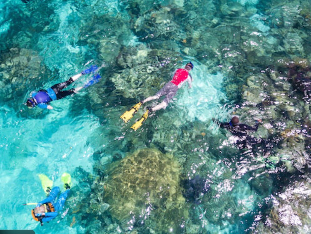
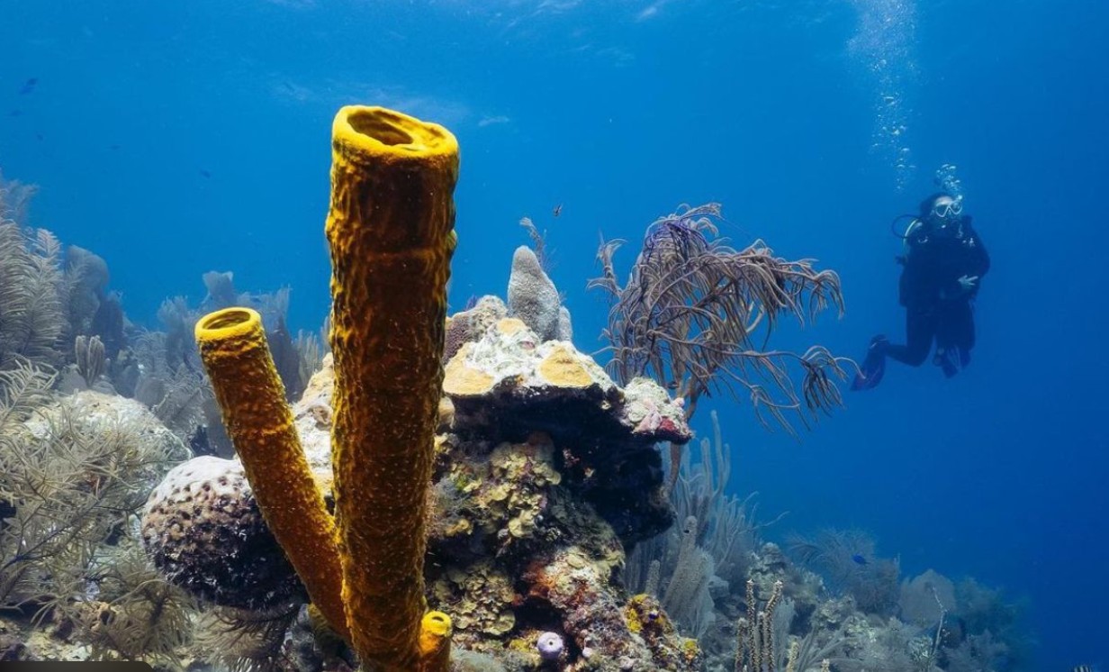
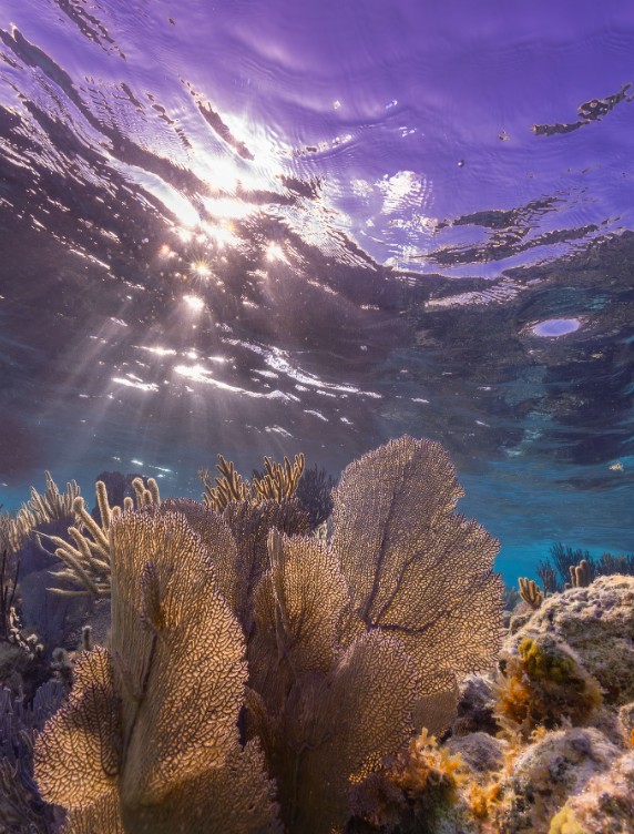
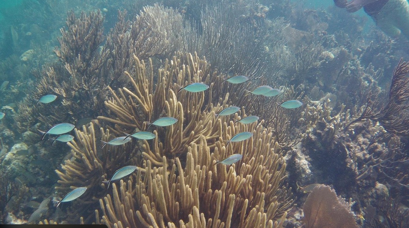
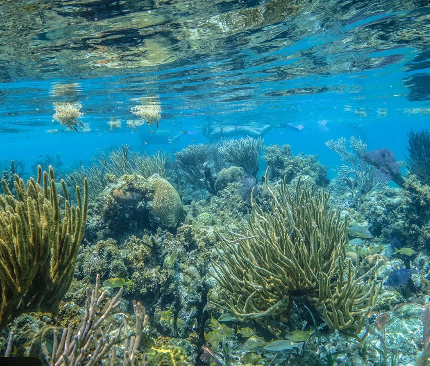
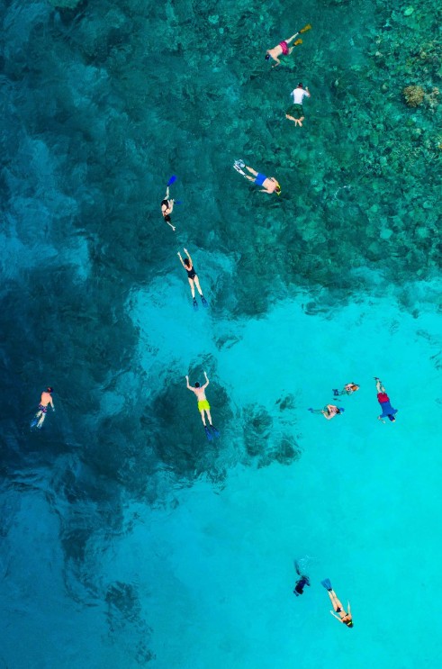
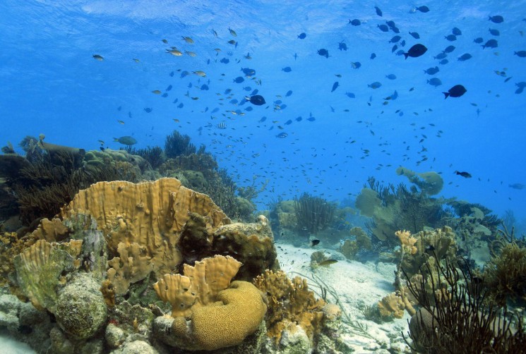
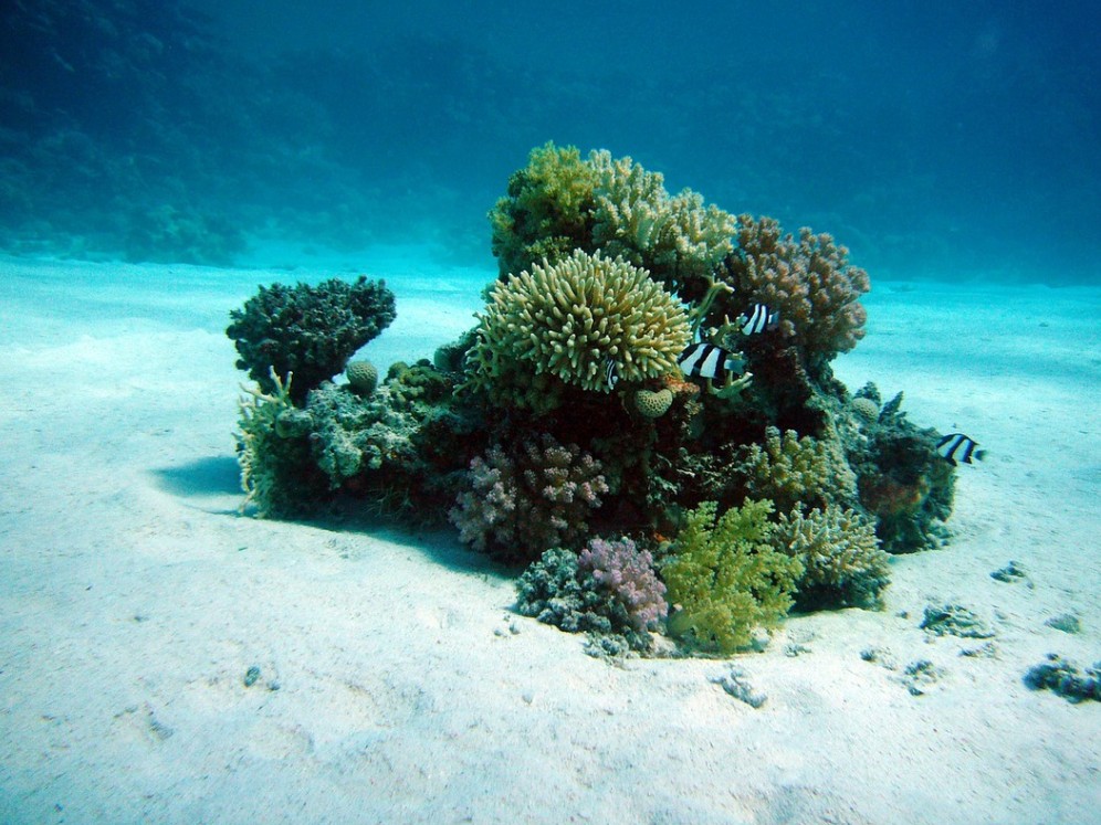
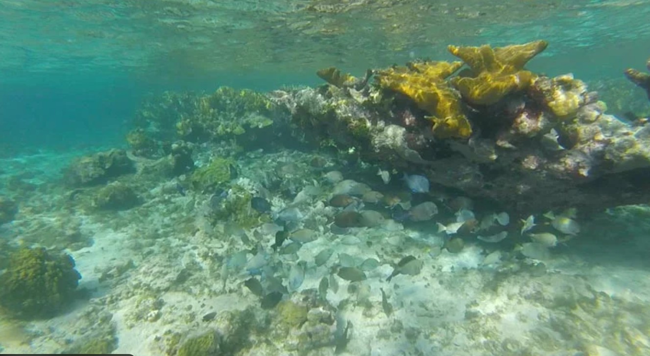
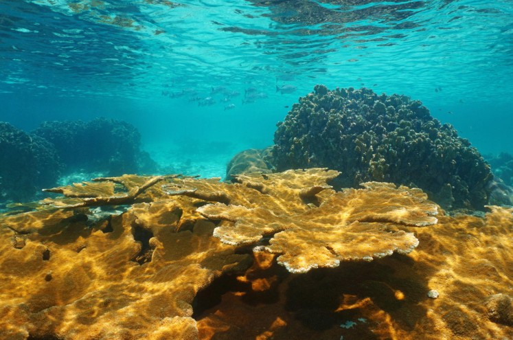
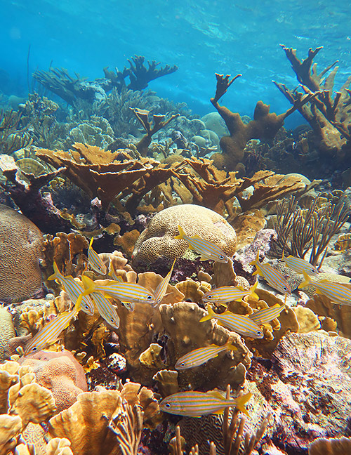
| 🇧🇿 Belize | Ambergris Caye · Turneffe · Lighthouse Reef · Blue Hole · Glover's Reef · South Water Caye · Placencia | World's 2nd largest barrier reef — the centerpiece of the Caribe circuit |
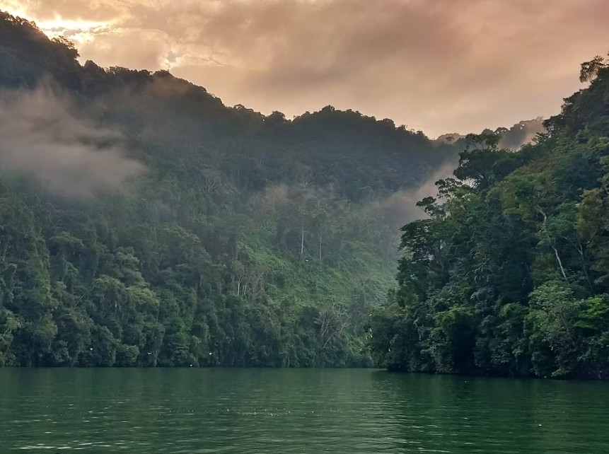
| 🇬🇹 Guatemala | Livingston · Río Dulce · Lake Izabal | The most extraordinary inland waterway in the Americas |
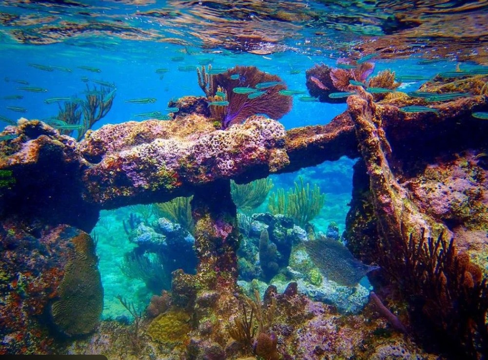
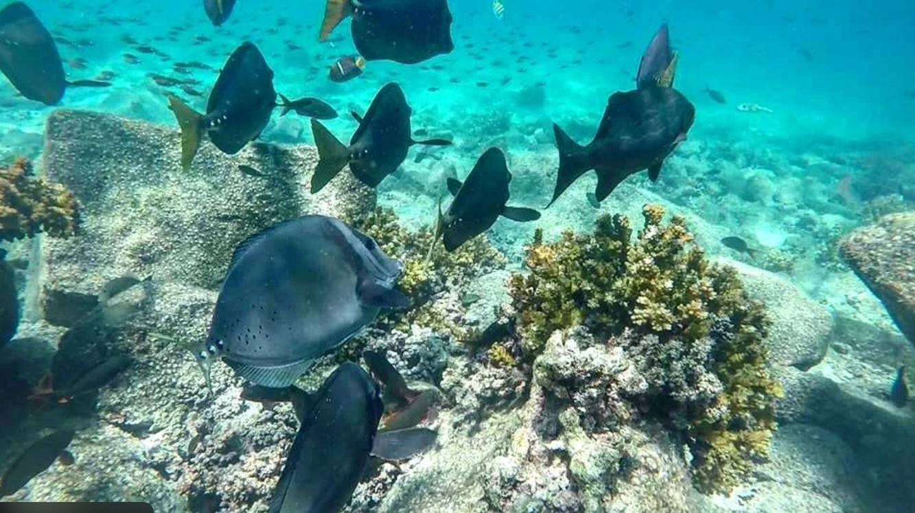
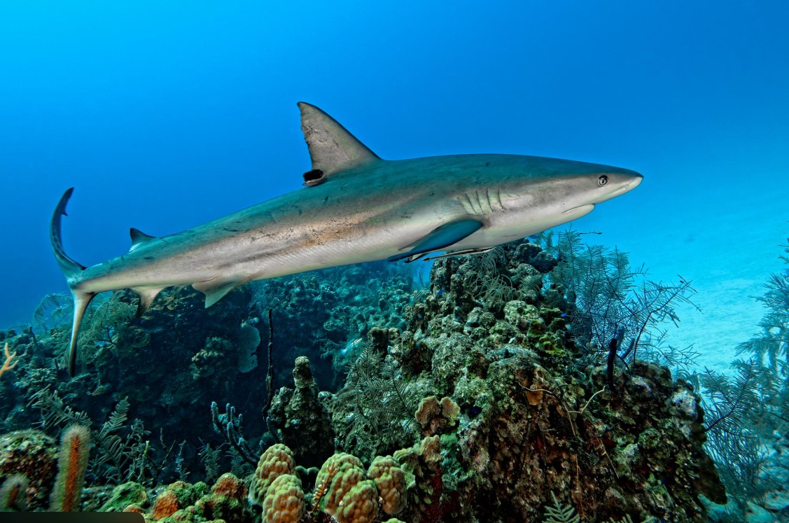
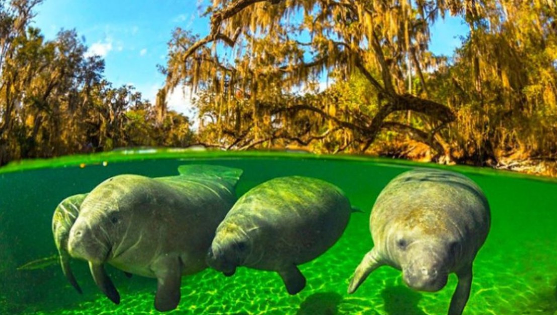
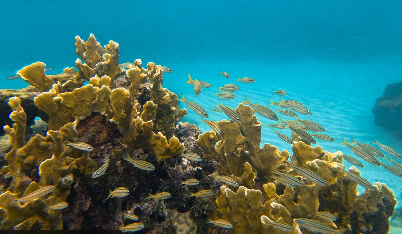
| 🇭🇳 Honduras | Cayos Cochinos · Utila · Roatán · Guanaja | Bay Islands — whale sharks, 100+ ft visibility, world-class diving |
| 🇳🇮 Nicaragua | Big Corn Island · Little Corn Island · Pearl Cays | Essentially unsurveyed — some of the most pristine water on the circuit |
| 🇨🇷 Costa Rica | Tortuguero · Cahuita NP · Puerto Viejo · Manzanillo | Jungle meets reef — Caribbean coast at its wildest |
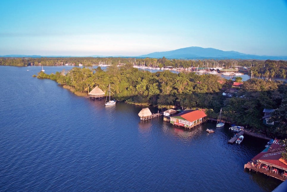
| 🇵🇦 Panama | Bocas del Toro · Portobelo · San Blas / Guna Yala · Panama City (portage) | Southern terminus — Guna Yala is among the finest sailing in the Caribbean. Portage across isthmus. |
| 🇨🇴 Colombia | Cartagena · Islas del Rosario · Santa Marta · Tayrona | Caribbean Colombia — walled city, offshore islands, and the Sierra Nevada coast |
| 🇦🇼 Aruba | Oranjestad · Baby Beach | The windward anchor of the ABC Islands |
| 🇧🄢 Bonaire | Kralendijk · Klein Bonaire | Marine park — shore diving from the beach, some of the best diving in the Caribbean |
| 🇨🇼 Curaçao | Willemstad · Westpunt | Western ABC terminus — return leg north back to Puerto Aventuras |
🇧🇿 Belize — Lighthouse Reef
🇧🇿 Belize — Turneffe Atoll
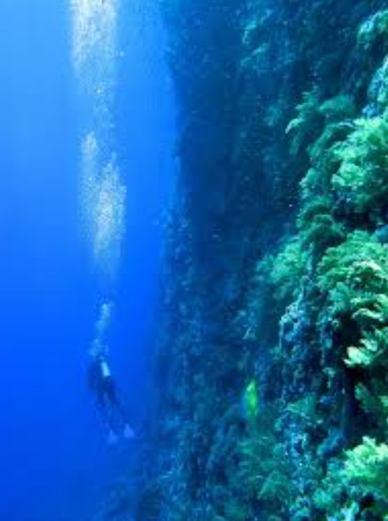
🇧🇿 Belize — Glover's Reef
🇬🇹 Guatemala — Río Dulce
🇭🇳 Honduras — Roatán & Guanaja
🇳🇮 Nicaragua — Corn Islands
🇵🇦 Panama — Bocas del Toro & Guna Yala
🇦🇼 Aruba • 🇧🄢 Bonaire • 🇨🇼 Curaçao
The Rim Run Caribe™ follows the BEC and precedes the Rim Run Pac™. Together the three expeditions make up the Blue Rim 5™ — 31 countries, 31 flags, 1,302 days minimum, completing approximately July 2030 at La Paz.
31 countries and territories. 31 flags. 1,302 days minimum. Departing Pensacola November 1, 2026. Completing approximately July 2030 at La Paz. After the Pacific, Shamrocket returns to the Caribbean — where she stays.