The Pacific coast of the Americas is one of the least-documented stretches of coastline on earth from a small-boat perspective. Commercial vessels follow offshore lanes. Dive liveaboards concentrate on known sites. The inshore zones — the kelp forests, the rocky reefs, the estuaries, the mangrove edges — are largely passed over. Shamrocket goes exactly there.
🌴 Hawaii — A Spiritual Anchor
Hawaii is not just a stop on the Rim Run Pac. It is the spiritual center of the entire Pacific leg — because of one man: Israel Kamakawiwoʻole.
“The Voice That Carried the Ocean”
Israel Kamakawiwoʻole was born on May 20, 1959, in Honolulu, and died on June 26, 1997, at the age of 38. In the years between, he became one of the most beloved musicians the world has ever produced — not through industry machinery, but through a voice that made people feel less alone. He played ukulele. He sang in Hawaiian and in English. He was a founding member of the Makaha Sons of Niʻihau, one of the most important Hawaiian music groups of the modern era.
His 1993 medley of “Somewhere Over the Rainbow” and “What a Wonderful World” — recorded in a single late-night session with only his ukulele — went on to appear in more than 60 films and television programs and has been streamed billions of times.
When he died, the State of Hawaii flew its flags at half-mast, and his body lay in state at the Hawaii State Capitol — an honor extended to only a handful of civilians in the state’s history. His ashes were scattered into the Pacific off Mākua Beach on the Oʻahu coast, watched by thousands from shore and from canoes on the water. He went home the way Hawaiians go home — back to the kai, back to the land, back to the sea.
These are the waters Shamrocket sails into on the Rim Run Pac — the same Pacific that received him. When the boat reaches Hawaii, the baritone ukulele comes out. “Please” — written as a tribute to Izzy and the spirit of aloha he carried — will be performed live at anchor in his ocean. That moment has been planned since the first note was written.
I play baritone ukulele because of Izzy. It was his music that put the instrument in my hands, and it is his spirit that I carry every reef I dive and every coastline I sail.
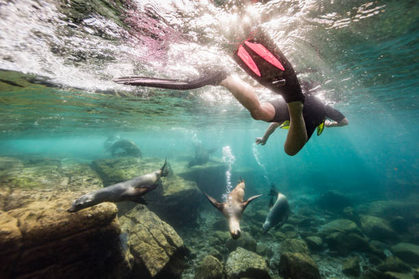
Aloha isn’t a greeting. It is a way of moving through the world — to give when nothing is coming back, to carry kindness like a lantern, to leave a little light along your track. That philosophy travels with this expedition from the first anchorage to the last.
🌊
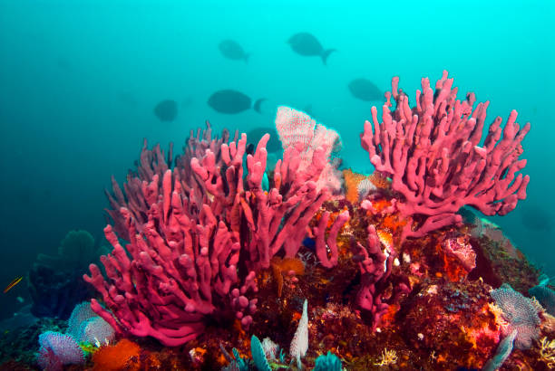
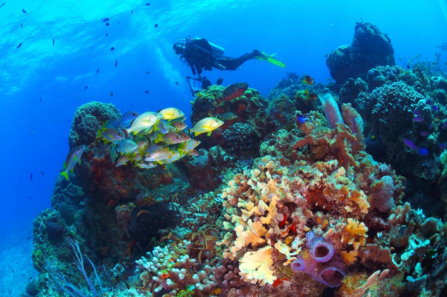
Sea of Cortez
Jacques Cousteau called it the world’s aquarium. One of the most biodiverse marine environments on the planet, with a thermal and biological profile dramatically different from the Caribbean.
🐋
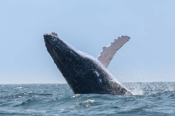
Ecuador Coastal Arc
Where the cold Humboldt and warm Panama Currents converge. Machalilla NP is Ecuador’s premier marine protected area. Humpback whales congregate here seasonally in numbers rarely seen elsewhere on the Pacific coast.
🌧
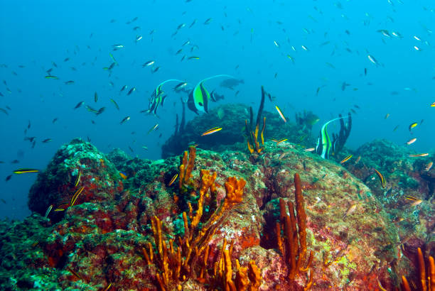
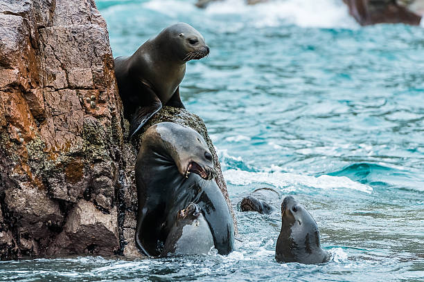
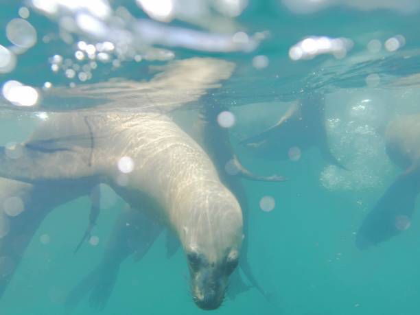
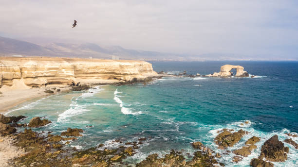
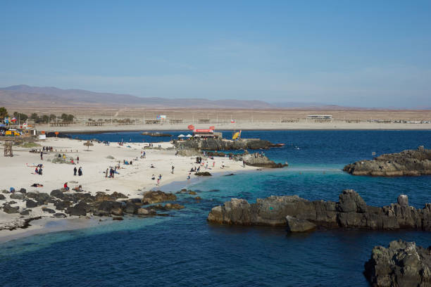
Humboldt Current
One of the most productive ocean systems on earth. Cold-water upwelling off Peru and Chile supports sea lion colonies, penguin rookeries, and marine communities that have no Caribbean analog.
🌿
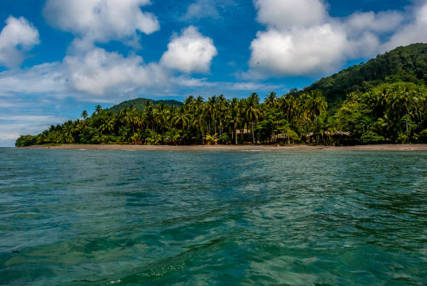
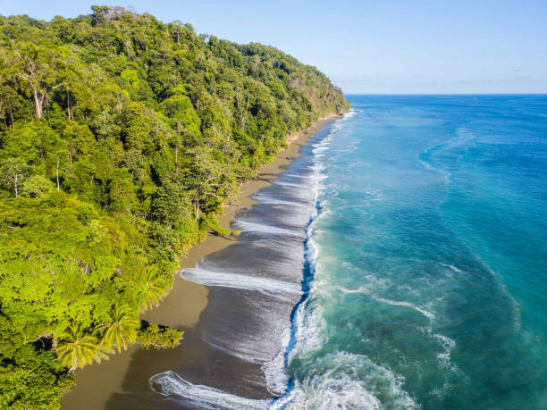
Osa Peninsula
Corcovado National Park borders one of the most biodiverse coastal zones on earth. Pacific jungle meets reef in a system almost completely distinct from Costa Rica’s Caribbean side — same country, different planet.
🦈
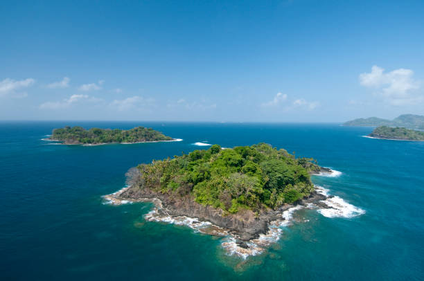
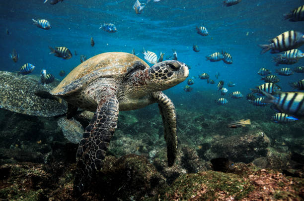
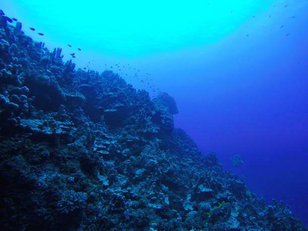
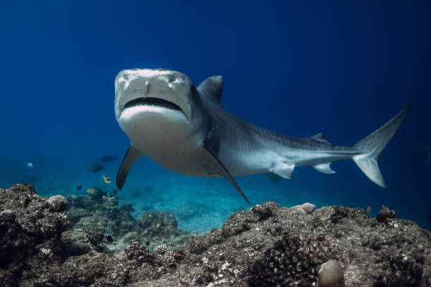
Coiba National Park
Panama’s Pacific crown jewel — a UNESCO World Heritage site with whale sharks, hammerheads, and reef systems that rival anything in the Caribbean. The circuit’s southern Pacific entry point.
🐾
Colombia Pacific
Bahía Solano and Nuí sit at the edge of the Chocó bioregion — one of the most biodiverse places on earth. Humpback whales calve here. The jungle runs directly to the water’s edge.